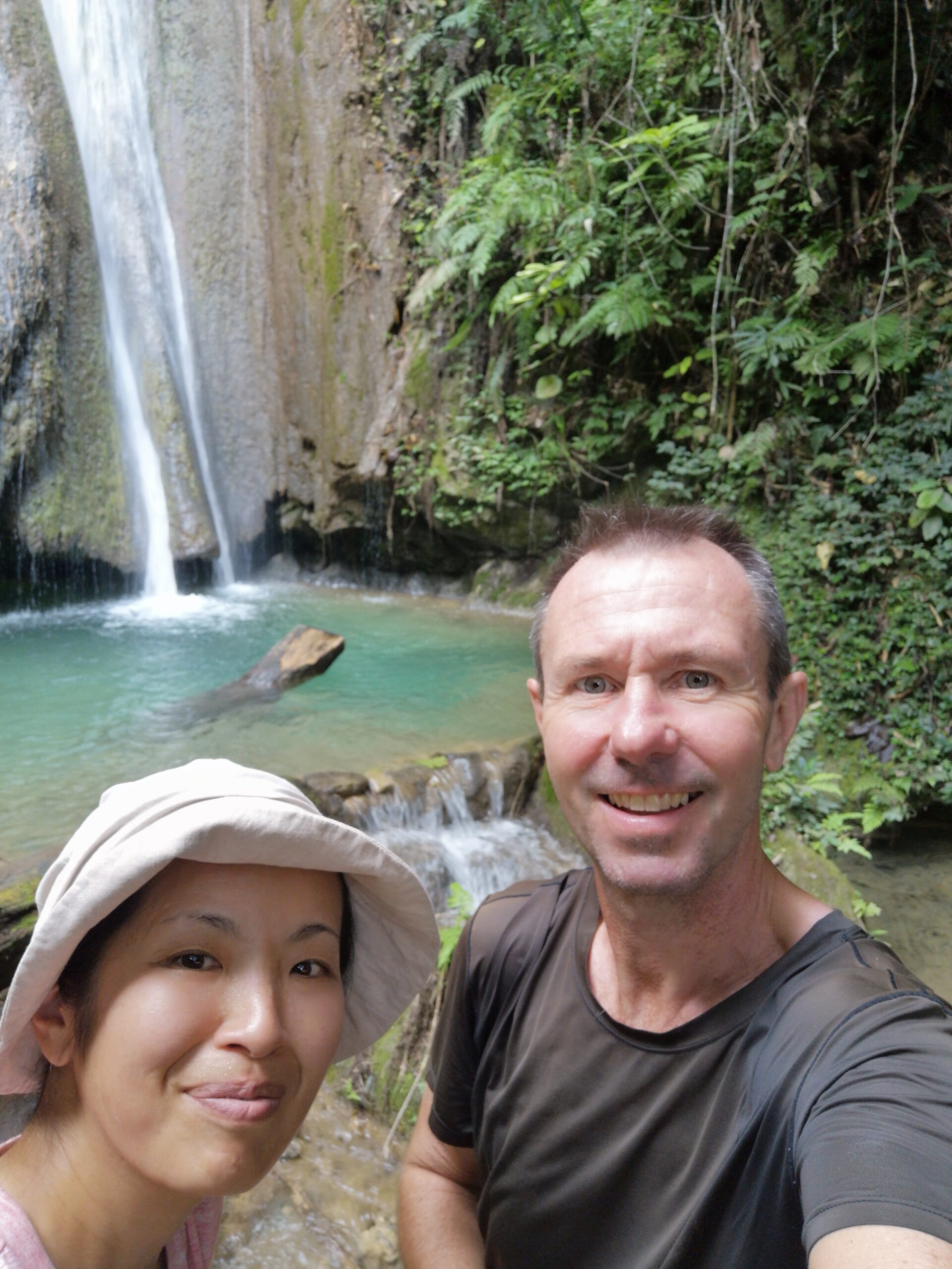
Tad Mook Waterfall is one of the most breathtaking hidden gems near Muang Ngoy, famously known for its pristine 20-metre cascade tucked deep inside the Northern Laos jungle. While the vast majority of travelers visit this natural paradise via organized riverboat day tours, it is entirely possible—and incredibly rewarding—to tackle the journey completely on foot as a DIY jungle trekking adventure.
The hiking route from Muang Ngoy to Tad Mook Waterfall stretches approximately 10km one way, resulting in a challenging 23km round-trip trek that follows the muddy banks of the Nam Ou River, cutting through remote local settlements like Ban Hatchan and Sop Kong (Ban Sop Keng) villages.
If you are wondering, “How do I walk to Tad Mook Waterfall without a tour?” or “What is the trail condition like?”—you’ve come to the right travel blog. In this comprehensive guide, we will break down the exact walking directions, how to navigate the bridge-free river crossings, why standard Google Maps won’t work, required entrance fees, and essential survival tips to help you conquer this raw Laotian countryside hike completely on your own!
🇯🇵 この記事を日本語で読む: ムアンゴイからタッドモーク滝(Tad Mook)へ歩いてみた!浅い川渡りと赤土のでこぼこ道を行く往復23km徒歩トレッキング完全攻略
Trekking At A Glance
- Route: Muang Ngoy ↔ Ban Hatchan Village ↔ Ban Sop Keng (Sop Kong) ↔ Tad Mook Waterfall
- Total Distance: Approx. 20 to 23 km (Round trip)
- Difficulty: Moderate to Challenging (Lengthy trek along dirt paths and rolling hills; requires good physical fitness)
- Waterfall Entrance Fee: 20,000 Kip per person
- What to Bring: Offline map (maps.me is mandatory), 1.5–2 liters of water, energy snacks (bananas are a backpacker’s lifesaver!), a small towel, water-friendly shoes/sandals, and swimwear.
- 1. Why We Skipped the Boat and Walked to Tad Mook Waterfall
- 2. The Unmapped Route: Why Google Maps Will Fail You
- 3. The Major Obstacle: A Bridge-free River Crossing
- 4. Life Along the Trail: Forestry, Parties, and an Organic Farm
- 5. Arriving at the Hidden Oasis: Tad Mook Waterfall
- 6. The Verdict: Exhausting But 120% Worth It
- Travel Vlog: Walking to Tad Mook Waterfall from Muang Ngoy
1. Why We Skipped the Boat and Walked to Tad Mook Waterfall
Tad Mook Waterfall, standing at a majestic 20 metres high, is a popular natural sanctuary tucked away in the jungle roughly halfway between Nong Khiaw and Muang Ngoy. The standard protocol for most tourists is to book an organized day-trip boat tour that drops them off at Sop Keng village, leaving only a short 3km flat walk to the falls.
However, being avid long-distance walkers who comfortably average 20km a day, we wanted more out of our day. We wanted to touch the real, raw Laotian countryside and earn the final view. So, we laced up our shoes and decided to tackle the 23km journey completely on foot right from our guesthouse doorstep in Muang Ngoy.
2. The Unmapped Route: Why Google Maps Will Fail You
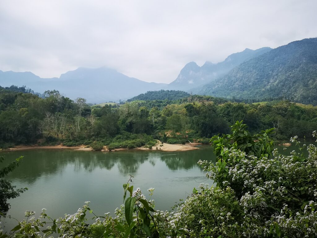
The trail out of Muang Ngoy follows the general path of the Nam Ou River heading south. The biggest hurdle for independent travellers, however, is that standard Google Maps does not show the walking trail or logging roads here.
Essential Backpacker Tip: Before you lose cellular connection in the valley, download the offline map of Laos on the maps.me app. The walking trail, village boundaries, and jungle forks are all clearly marked there and work flawlessly without internet. It was our ultimate lifesaver!
Step-by-Step Directions
- From Muang Ngoy’s main dirt road, head south and turn left (east) immediately before Gecko Restaurant.
- Walk straight across the open grassy schoolyard field and follow the flat path out.
- You will hit a three-way junction marked with local English trail signs. Take a sharp right (south). (There is no sign explicitly pointing to “Sop Keng,” but this rugged dirt path is the correct route). From here, keep straight.
3. The Major Obstacle: A Bridge-free River Crossing
Shortly after clearing the outskirts of Muang Ngoy, you will encounter the first real adventure of the day: a wide river crossing with absolutely no bridge. Even during the peak dry season in mid-December, the currents flow ankle to knee-deep over smooth rocks.
hitchhiking on a Local Tractor
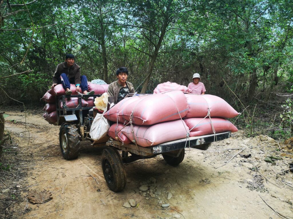
As we stood at the riverbank contemplating taking off our footwear, a stroke of pure luck hit us. A local farmer driving a rugged agricultural tractor rolled up to the crossing. With a few smiles and hand gestures, he kindly signalled for us to hop onto the back iron frame. We successfully crossed the rushing water without getting a drop on our socks! (On the return leg, however, we stripped off our shoes and socks and waded right through the cool current—make sure to bring a small travel towel to dry your feet).
4. Life Along the Trail: Forestry, Parties, and an Organic Farm
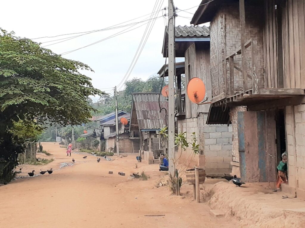

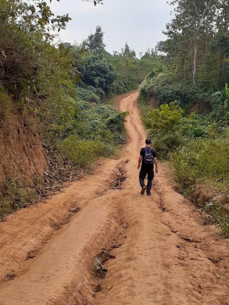
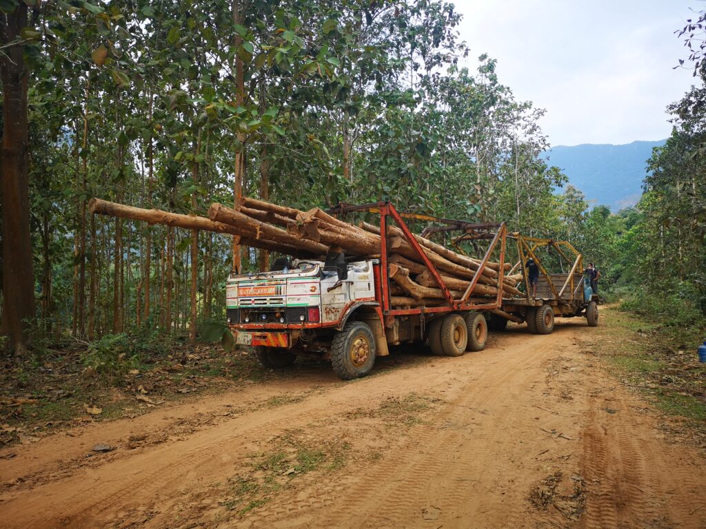
The dusty, red-clay trail hugs the Nam Ou River, cutting through steep jungle ridges and timber hills. Because there are virtually no convenience shops along this 10km stretch, our stock of bottled water and raw bananas kept us fully fuelled.
- Forestry Workers: Along the way, we passed local loggers selectively clearing fallen timber, offering a brief glimpse into the rural valley industry.
- Ban Hatchan Village: A few kilometers in, we walked right through the center of this tiny settlement. The entire village was in the middle of a massive communal party! The Laotian people truly love a celebration, and the booming music and joyful toasts echoing across the dirt road were incredibly infectious.
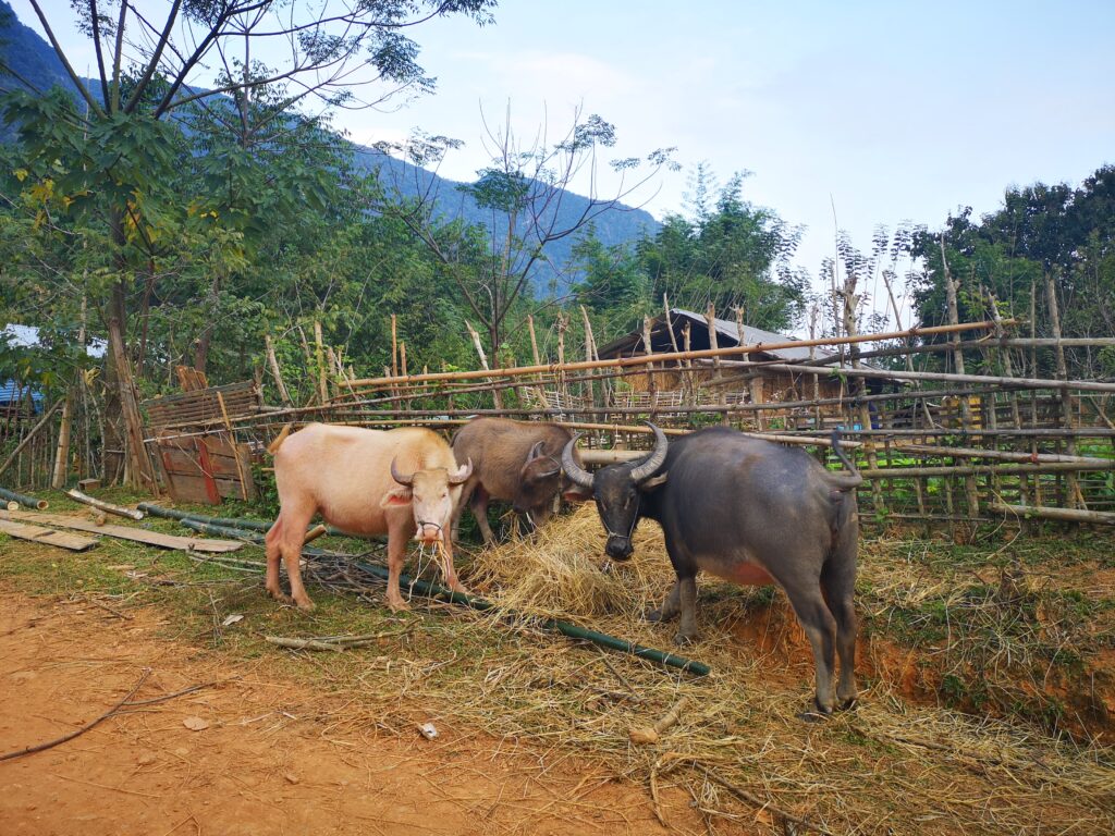
- Ban Sop Keng (Sop Kong Village): Located roughly 8km from Muang Ngoy, this serves as the main drop-off hub. Here, the route cuts away from the river banks and turns sharp east into a beautiful basin of endless green rice paddies.
- The Hidden Organic Farm: Roughly 10 minutes past Sop Keng village, you’ll pass a lovely local organic farm and cafe. Because we got a slightly late start in the morning and wanted to ensure we beat the pitch-black jungle darkness on our return, we didn’t stop—but it looks like an ideal spot for lunch.
5. Arriving at the Hidden Oasis: Tad Mook Waterfall
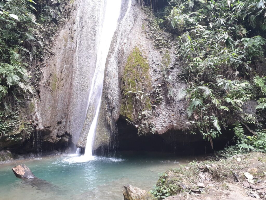
Following the maps.me trail across the valley paddies and into the deep jungle canopy for another 15 minutes brings you directly to the entrance gate of Tad Mook Waterfall, where you will pay the local conservation fee of 20,000 Kip per person.
The falls cascade beautifully down a 20-metre vertical limestone step into a pristine, shaded catch basin. The deep plunge pool is completely open for swimming. It happened to be a heavily overcast and crisp day when we arrived, so we opted out of a freezing cold dip. However, because we travelled completely alone, we managed to score the entire waterfall completely to ourselves for a blissful 30 minutes before the midday boat tour groups arrived.
Useful Information for Your Laos Trip:
Visa Extension Guide: ➡ Laos Visa Extension Guide: Oudomxay vs Luang Namtha Costs, Rules, and 23-Hour Fast-Track Success
Border Crossing Guide:
➡ Hue to Savannakhet Border Guide via Lao Bao Border: Crossing from Vietnam to Laos
➡ Paksan to Bueng Kan Border Crossing (Laos – Thai) Mekong River by Boat
6. The Verdict: Exhausting But 120% Worth It
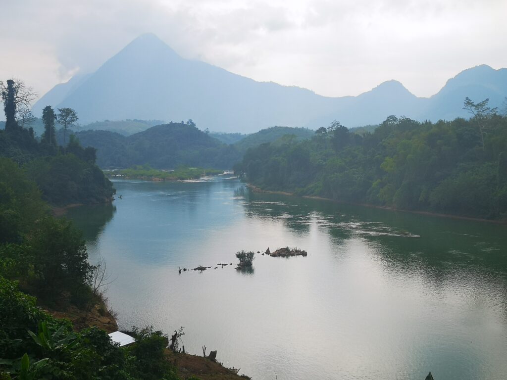
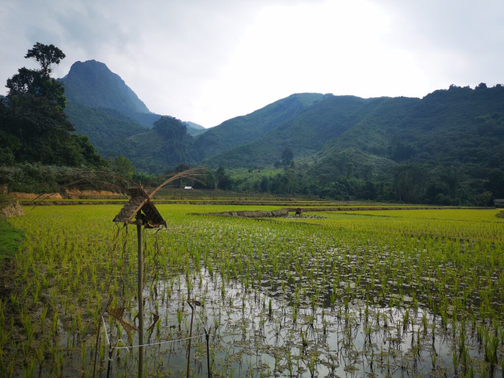
The 10km walk back felt surprisingly shorter, likely fuelled by the satisfaction of executing the trek independently. After logging over 20 kilometres on rough, unpaved terrain, sitting down near our jetty lodge with a couple of ice-cold Beerlaos and a massive local dinner felt like absolute heaven!
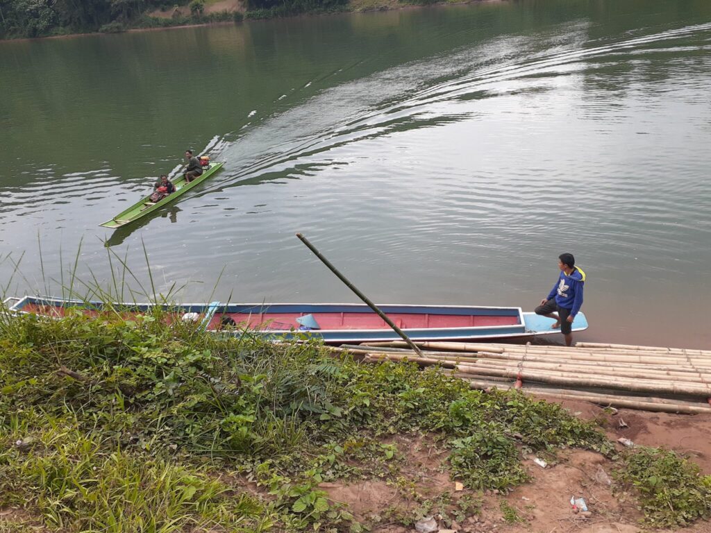
Emergency Escape Route If your legs completely give out upon reaching the waterfall or Sop Keng village, do not panic. You can walk down to the Sop Keng boat landing and flag down a local longtail boat captain heading upstream. You will have to negotiate a cash fare on the spot, but it’s a valid backup plan.
While it was a good physical workout, walking to Tad Mook allowed us to see the heartbeat of rural Laos in a way no standard boat tour could ever provide. If you have the stamina, we highly recommend doing it on foot!
Our Handpicked Must-Visit Spots:
Based on our own journeys, here are the absolute best places in Laos that captured our hearts.
➡ Luang Prabang Travel Guide: 3-Day Temple Walking Route, Chompet Ferry & Local Night Markets
➡ Wat Phou Travel Guide – Day Trip from Pakse: A Complete Motorbike Guide
➡ The Plain of Jars Travel Guide from Phonsavan: A Complete Sightseeing & Motorbike Survival Tips
➡ Nong Khiaw Travel Guide: Hiking Pha Daeng Peak, Local Eats & Slow Travel Tips
➡ Muang Ngoy Travel Guide: Ultimate Travel Guide to Laos’ Hidden Riverside Village
Travel Vlog: Walking to Tad Mook Waterfall from Muang Ngoy
The YouTube video shows what happens after we cross the river and passed through Hachan Village:
Muang Ngoy Travel Guide:
Although it was quite a long walk to Tad Mok Waterfall, there are also plenty of activities and sights to enjoy in the centre of Muang Ngoy village. For more details, see this blog post:
➡ Top Things to Do in Muang Ngoy: Ultimate Travel Guide to Laos’ Hidden Riverside Village
Getting to Muang Ngoy and Leaving Muang Ngoy:
➡ Nong Khiaw to Muang Ngoy Travel: How Low River Levels Forced Us on a Wild Songthaew Detour and Back
➡ Muang Ngoy to Oudomxay (Muang Xai) via Nong Khiaw: Same-Day Boat and Minibus Guide

Comment