Boğazkale, reached by bus and hitchhiking, is a small village with a population of 1,200. But it is home to the ruins of the capital of the Hittite Empire, which flourished in Anatolia from the 16th century BC to around 1200 BC. These are the Hattusa ancient city site and the Yazılıkaya sanctuary.
We visited Hattusa and Yazılıkaya during the afternoon we arrived from Ankara. Here are some of the highlights of Boğazkale’s sights, Hattuşa and Yazılıkaya.
The city of Boğazkale
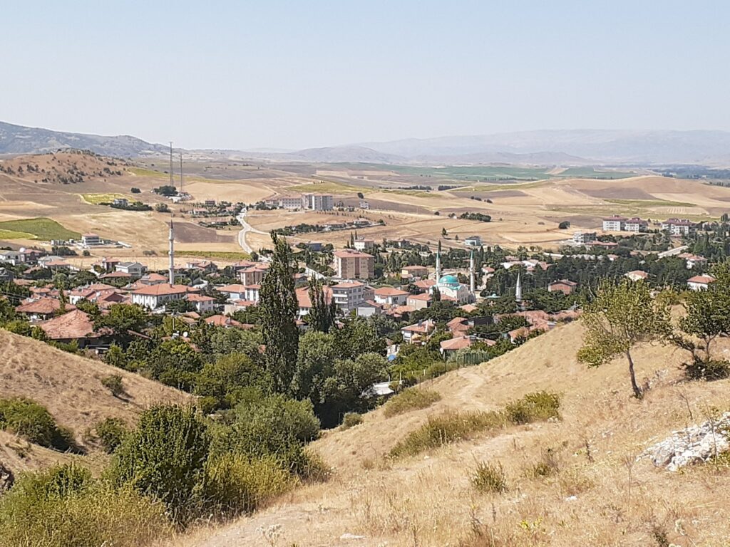
Boğazkale is a quiet village situated east of Ankara, almost in the centre of the Anatolian Plateau. It is a town in the Çorum district of the Black Sea Region, with a population of 1,203 (2022).
It is visited by many tourists due to the ruins of Hattusha and its sanctuary Yazılıkaya, the capital of the ancient Hittite Empire in the 16-13th century BC, and has several accommodation options.
Excavation of the ruins of the Hittite imperial capital around Boğazkale began in earnest at the beginning of the 20th century. Many clay tablets were collected by the German H. Winkler during his excavations in the area in 1906-1907 and 1911-12. The descriptions on these clay tablets in Akkadian, a lingua franca of the second half of the second millennium BC (approximately 3,000-4,000 years ago), proved that the site was the capital of the Hittite Empire.
Since then, traces of the construction of ancient city sites have been excavated one after another, and the decipherment of cuneiform and hieroglyphic writing on clay tablets excavated from the site complexes has revealed many historical facts about the Hittites.
Sightseeing at the imperial Hittite sites from Boğazkale
The imperial Hittite sites of Hattuşa and. Yazılıkaya are easily accessible from Boğazkale. Hattusa is an urban site spread over a relatively large area and situated on a hillside slope overlooking the city of Boğazkale. The distance from Hattusa to the Yazılıkaya sanctuary site is about 3 km and is up and downhill and requires some fitness to travel by foot. (Or you can drive).
We were taken to the entrance of Hattusa by someone who picked us up when we were hitchhiking from Ankara. After visiting Hattusa, we visited Yazılıkaya on foot plus a bit of hitchhiking.
Entrance fees and tour route to Hattusa
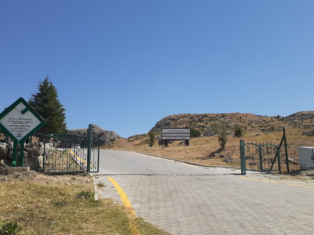
The entrance to Hattusa is located up the hill from Boğazkale. As soon as you enter the entrance gate, the car park and ticket office are on your left.
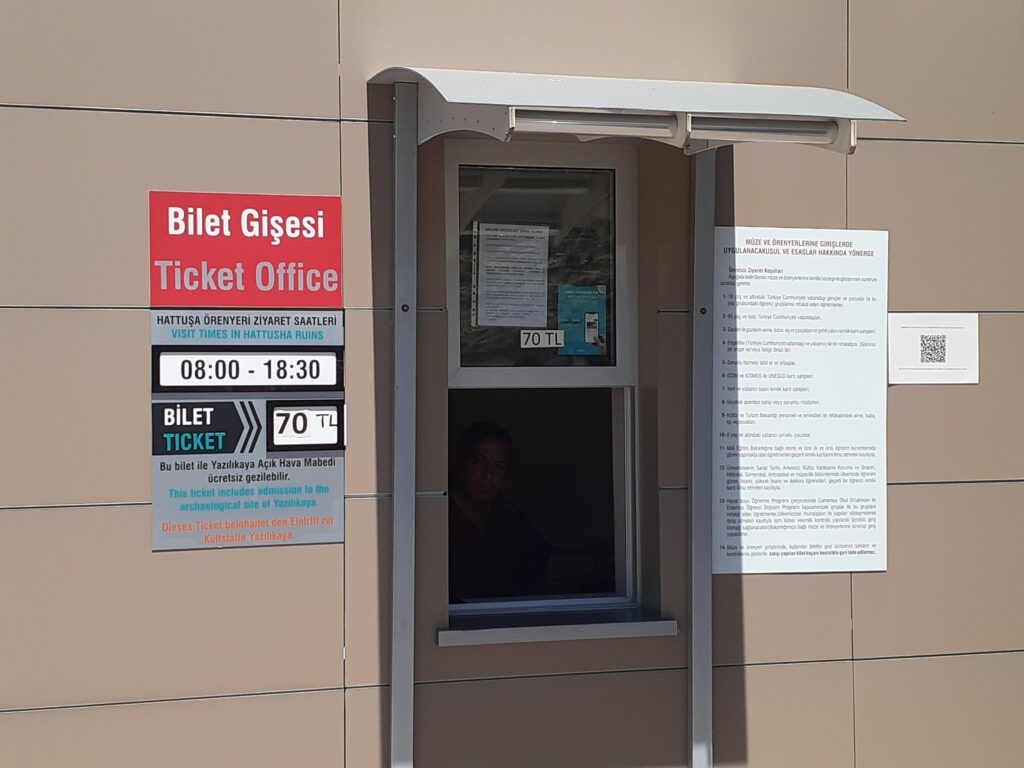
The entrance fee was 70 Turkish Lira per person and allowed us to visit both Hattusa and Yazılıkaya. Credit cards were not accepted.
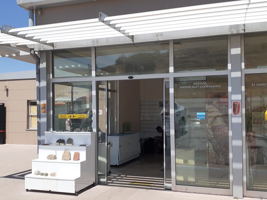
We had travelled from Ankara that morning and were carrying our backpacks. We left our bags at the gift shop next door to the ticket office.
Hattusa remains an excavation work in progress, but is a well maintained tourist attraction. There was an easy walking trail, which was a loop. The whole walk was 5 km long and there was virtually no shade, so it’s better to be prepared for the sun.
There were toilets, a gift shop and café next to the ticket office, but drinking water was extremely expensive (15 TL per 500 ml bottle – negotiated down to three for 20TL). The walking tour took about three hours which included going up and down lots of hills. It is recommended to bring drinking water and, if necessary, snacks.
If you have a car, motorbike or other means of transport, you can also go around by vehicle. In that case, the loop is one-way, but there is a large arrow at the start of the loop, so you can’t go wrong.
Highlights of the Hattuşa ruins
Here are the highlights of the Hattusa historical site, in the order in which we actually went around it.
Lower settlements and temples
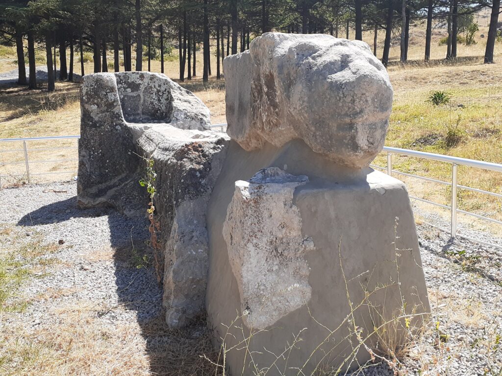
The first highlight of our walk around the Hattusa site was the Lower Settlement and Temple. The area was originally settled by the Hatti people (the indigenous people of the region), the predecessors of the Hittites, as early as the end of the 3rd millennium BC. Assyrian merchant colonies are also confirmed to have existed in the area at the beginning of the 2nd millennium BC.
Here is the Hittite settlement in the lower part of the city, founded on the slope of a hill, and the ruins of a temple in the middle of the settlement.
The entrance was reached by a wide paved street and a lion’s water basin was placed along the outer approach. This basin was carved out of a limestone block and had two lion heads decorated on each end of an elongated rectangle.
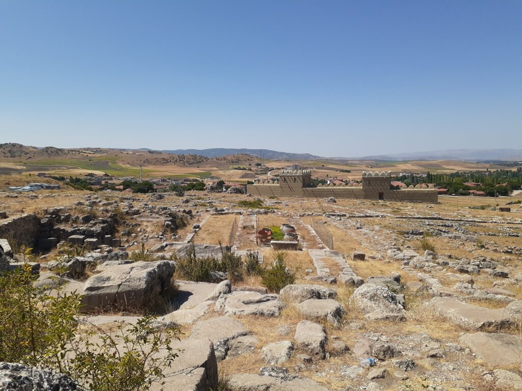
In the centre of the settlement was the largest temple of Hattusa, built of sun-dried bricks and wooden frames on a foundation made of large limestone blocks. Today, no sun-dried bricks and wooden sections remain.
Several two-storey warehouses surrounded the temple, where ritual equipment, offerings, foodstuffs and provisions are believed to have been stored.
House on the hill
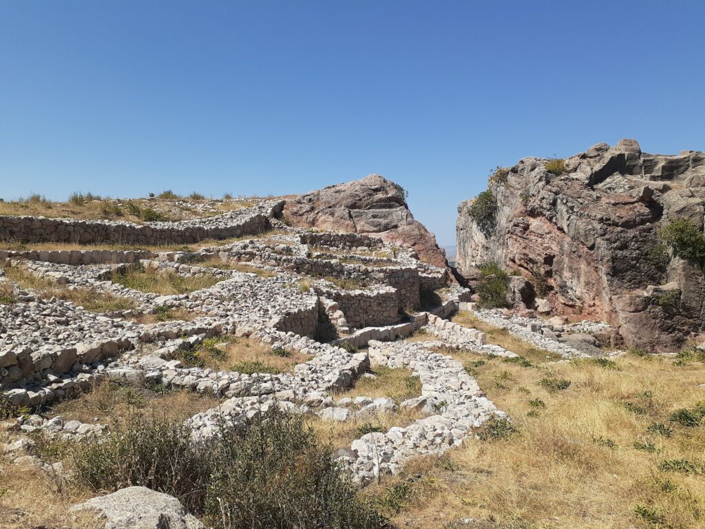
The ruins of the house on the hill were opposite the lower settlement and the temple. Part of the old Hittite city, they were protected by a wall (rear wall), probably built by the 16th century BC. Originally, many of the buildings here were stepped on the slope, but this ‘house on the hill’ is two storeys high and measures 32 x 36 m. This size suggests that it was a public building. Remnants of a burnt brick wall remain at the back of the building (which cannot be visited as it is covered by a protective wall), indicating that this building was destroyed by fire at the end of the 13th century BC.
At the boardwalk junction, turn right
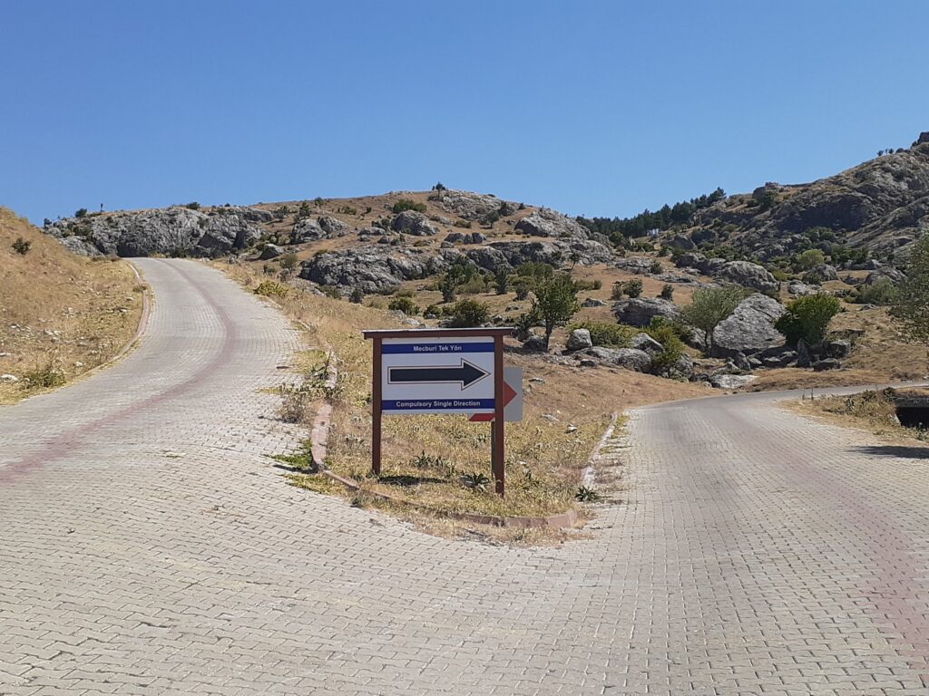
From here, the tour follows a loop route in an anti-clockwise direction. The route is one-way, so if you are entering by vehicle, you cannot go backwards to visit the tour spots after this point.
Lion Gate
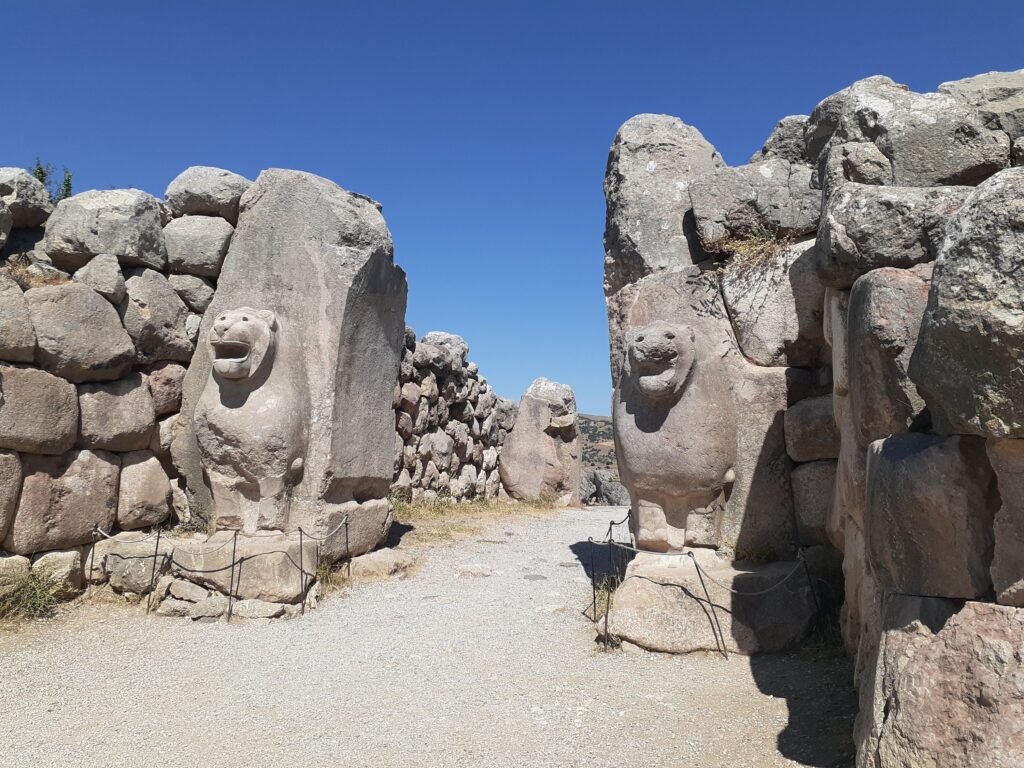
This is one of the main attractions of Hattusa, located in the south-west of the city. A double gate with two towers on each side, it was once equipped with wooden doors inside.
Two lions carved out of massive block stones can be seen at the outer entrance. The open-mouthed lion figure is a common motif in Hittite and Mesopotamian architecture as a protector. There are hieroglyphics above and to the left of the reconstructed lions’ heads, which are said to be most visible around noon. Unfortunately, we could not read them very well.
Yerkapu (doorway in the ground)
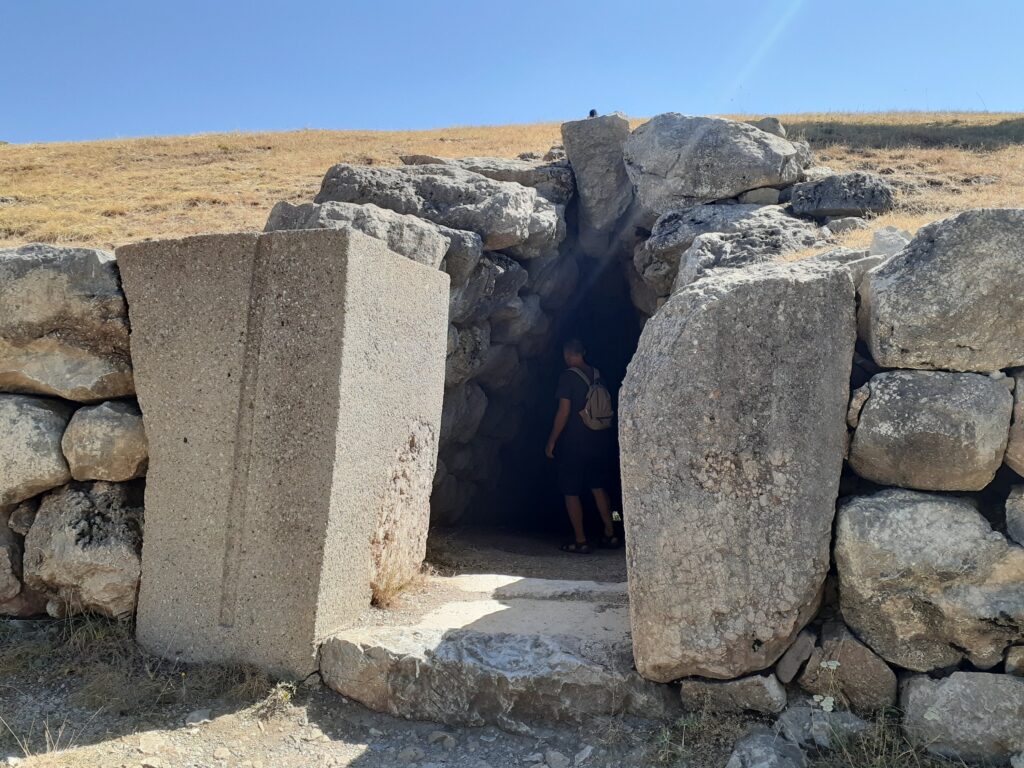
Located on the highest part of the Hattusa tour route, after this the rest of the way is downhill!
Located at the southern end of the city fortress, it is an artificial embankment approximately 30 m high, 250 m long and 80 m wide at the base, on which the city walls extend and the gate of the Sphinx is placed. Immediately below the gate is a 70 m long rock tunnel, which appears to have been built before the embankment. Descend through the tunnel, turn left and walk along the foot of the embankment to the eastern steps, where there are steps leading up to the Sphinx Gate.
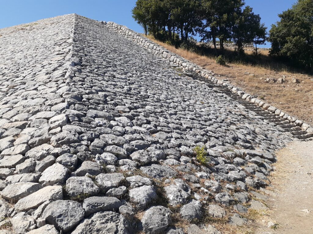
This embankment, which is thought to have had a monumental role rather than for protection, is reminiscent of a pyramid. The difference in height is 35 m, with steps at the western and eastern ends leading up to the top of the embankment.
Sphinx Gate
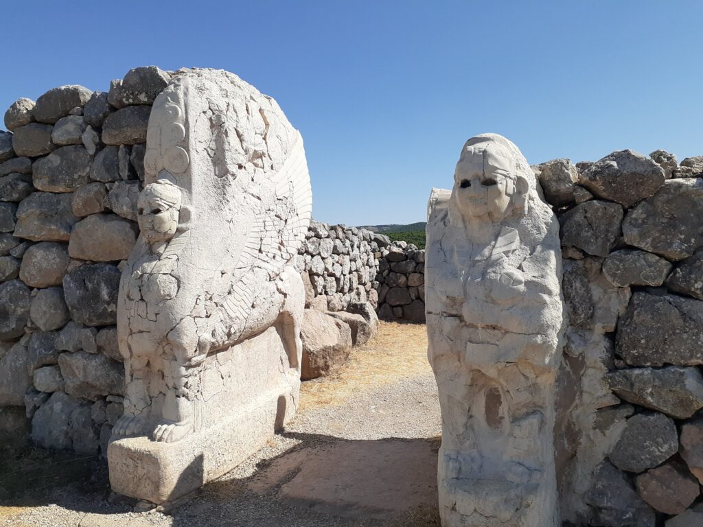
The Sphinx Gate is located in the middle of the rampart that runs along the top of Yerkapi’s man-made embankment. Unlike the Lion Gate and the King’s Gate, this gate does not have towers. Only the outer gate had a pair of wooden doors and four sphinxes flanking the gate. A three-dimensional sphinx was placed at the inner doorway and is one of the highlights of the Hatusa historical site.
The body of the sphinx faces towards the city, with wings painted on its sides. The original ones were badly damaged by fire in antiquity and were kept in museums in Istanbul and Berlin since 1907; in November 2011, both were returned to the Boğazkale Museum. In their original locations they are replicas.
King’s Gate
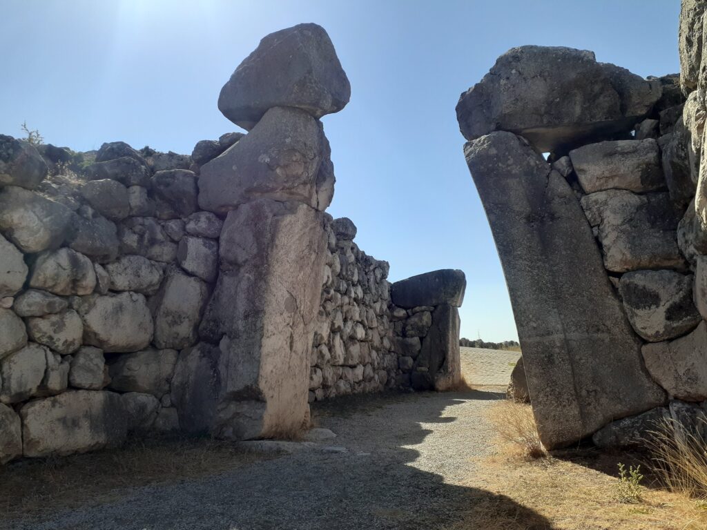
Located to the south-east of the city fortress, this is the best-preserved gateway at the site of Hattuşa: it is a double structure, inner and outer, flanked by two towers. It is approximately 5 m high and was fitted with a pair of wooden doors at its entrance.
On the block to the left of the inner doorway is a relief of a god dressed as a warrior with an axe, sword and helmet, but it is clearly a replica. The original is kept in the Museum of Anatolian Civilisations in Ankara.
Büyükkale (large castle)
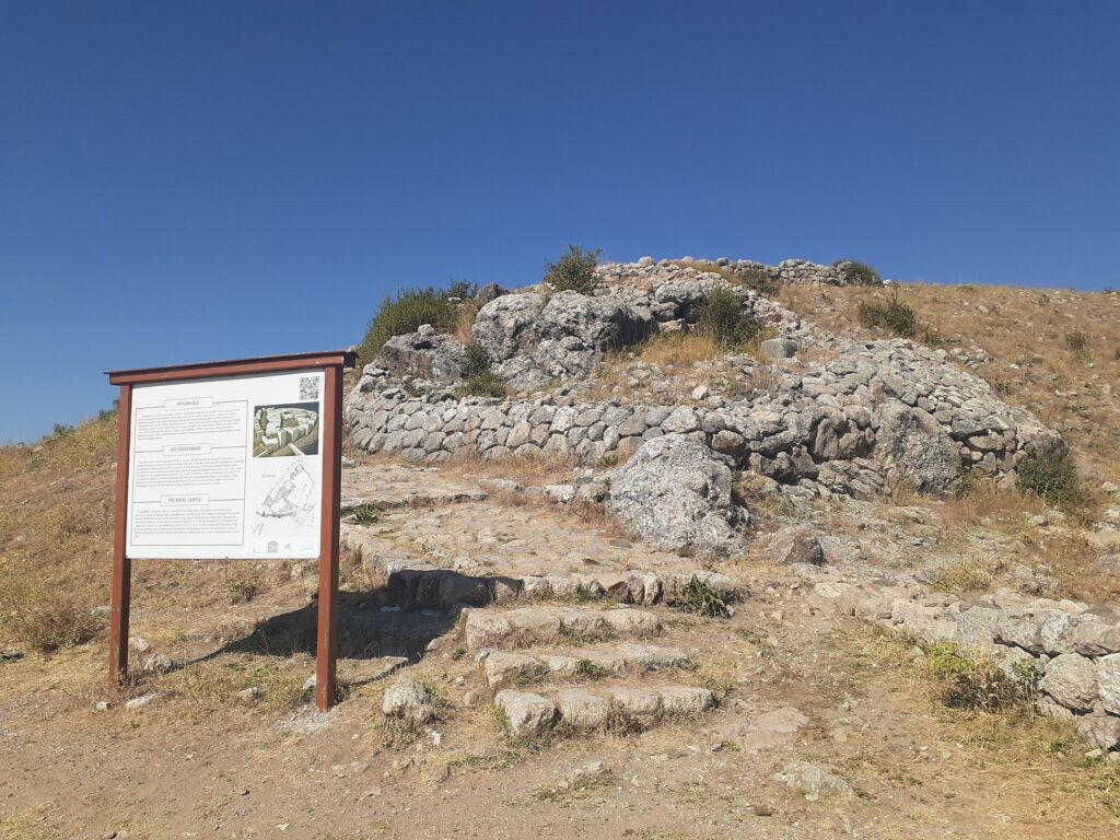
Büyükkale (meaning ‘big castle’), accessed by stone steps, was the palace of the Hittite kings. Located on the final part of the tour route of the Hattusa site, it is one of the main attractions and the climax of the tour.
Büyükkale was placed at the top of the old town of Hattusa, with a view over the city and the valley to the north. The oldest parts of the royal palace were built in the Early Bronze Age, but most of the parts seen today date from after the restoration in the 13th century BC. Courtyards, libraries, residences, ceremonial and audience halls have been identified.
This is the largest and most impressive area of the Hattuşa site. When we visited, some maintenance work was in progress. It is worth taking the time to explore this spot.
Getting to Yazılıkaya
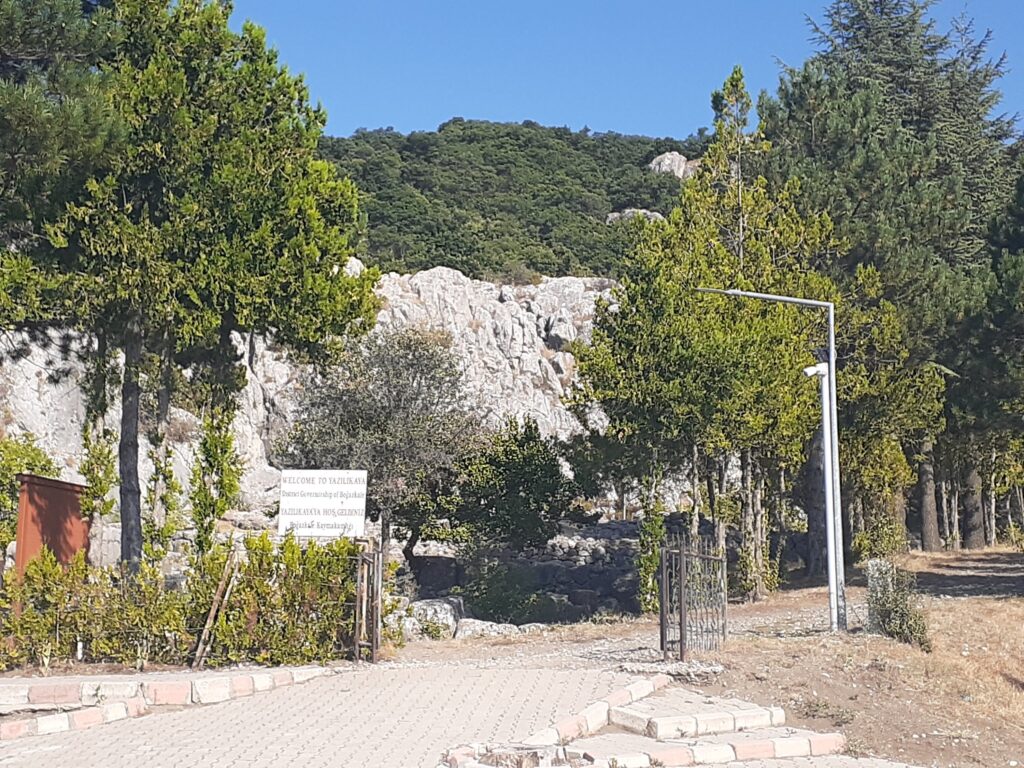
After visiting the Hattuşa site, we visited Yazılıkaya, which is about 3 km away. After a short walk out of Hattuşa, we were given a lift by a Turkish tourist going to Yazılıkaya. This was very helpful as we had just climbed up the hill with our backpacks on our backs.
The entrance fee to Yazılıkaya was included in the Hattuşa ticket price. We were able to leave our luggage in the gift shop, which was located just inside the entrance.
Yazılıkaya is much smaller than Hattusa, so the visit took less than an hour.
Yazılıkaya highlights
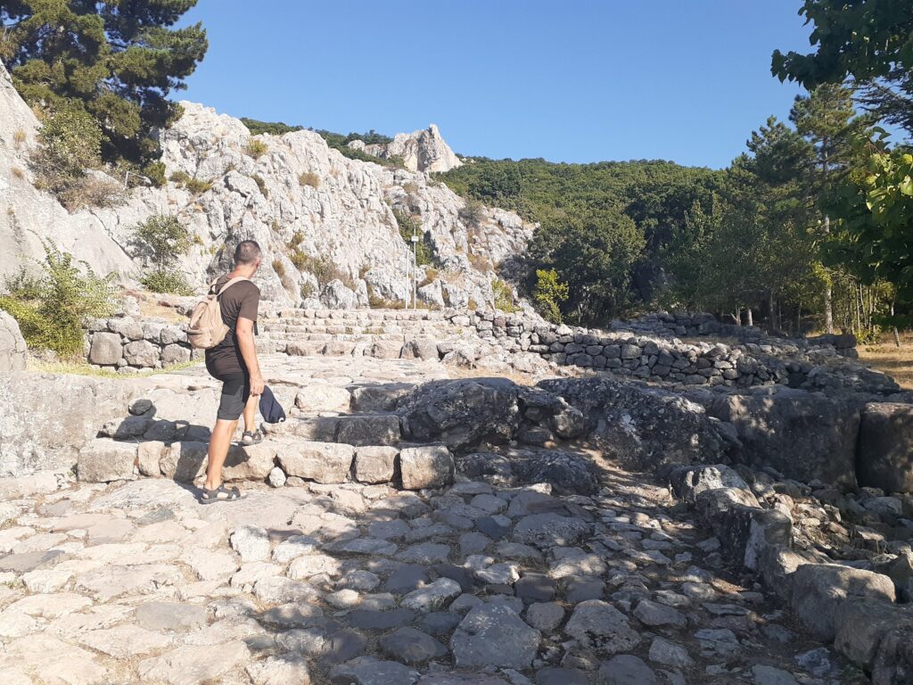
Yazılıkaya (meaning ‘rock with writing’) was built as a sanctuary for the Hittite capital Hattusa, within walking distance of Hattusa. It is the largest surviving Hittite rock sanctuary. Although it is known that Yazılıkaya was already in use as early as the 16th century BC, the majority of the stone carvings were completed in the 13th century BC during the reigns of the Hittite kings Tudhariya IV and Suphirulima II, and it is believed that Yazılıkaya was largely restored in this period.
Yazılıkaya is a complex of two main chambers, A and B, neither of which has a roof. Chamber A is larger than Chamber B and is believed to have been used to celebrate the New Year in March. Chamber B, on the other hand, is much smaller than A. It is surprising that the stone carvings are well preserved and relief works from the 13th century BC are clearly visible.
Chamber A
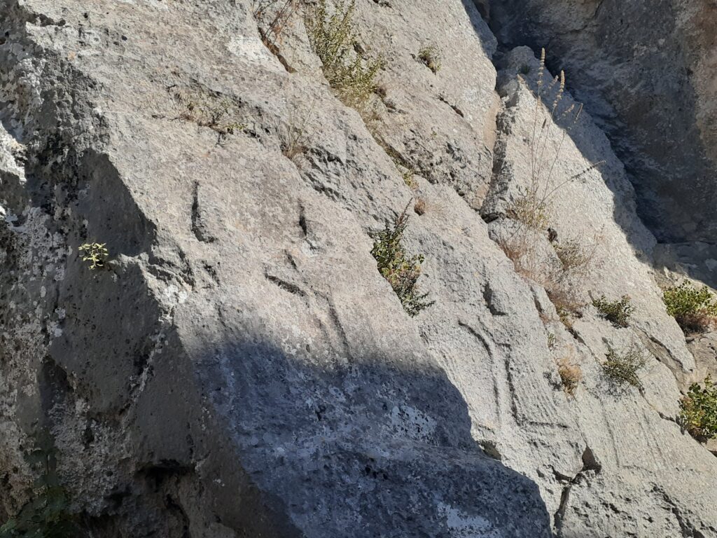
In Chamber A there are stone carved reliefs depicting processions of the gods. The left wall depicts a procession of male deities, while the right wall depicts a goddess in a crown and skirt. However, Shaushka, goddess of love and war, appears on the male god’s side with two women. The names of each deity are represented in hieroglyphics on the outstretched hands, although they are not clearly visible in our photographs.
The procession is directed towards a scene of the Hittite supreme divine couple, Teshub, the storm god, and Hephat, the sun goddess. The largest relief in the room, however, is on the opposite wall and depicts the great king of Hattusa, Tudarya IV. It is believed that during his reign in the late 13th century BC, the complex took its present form.
Chamber B
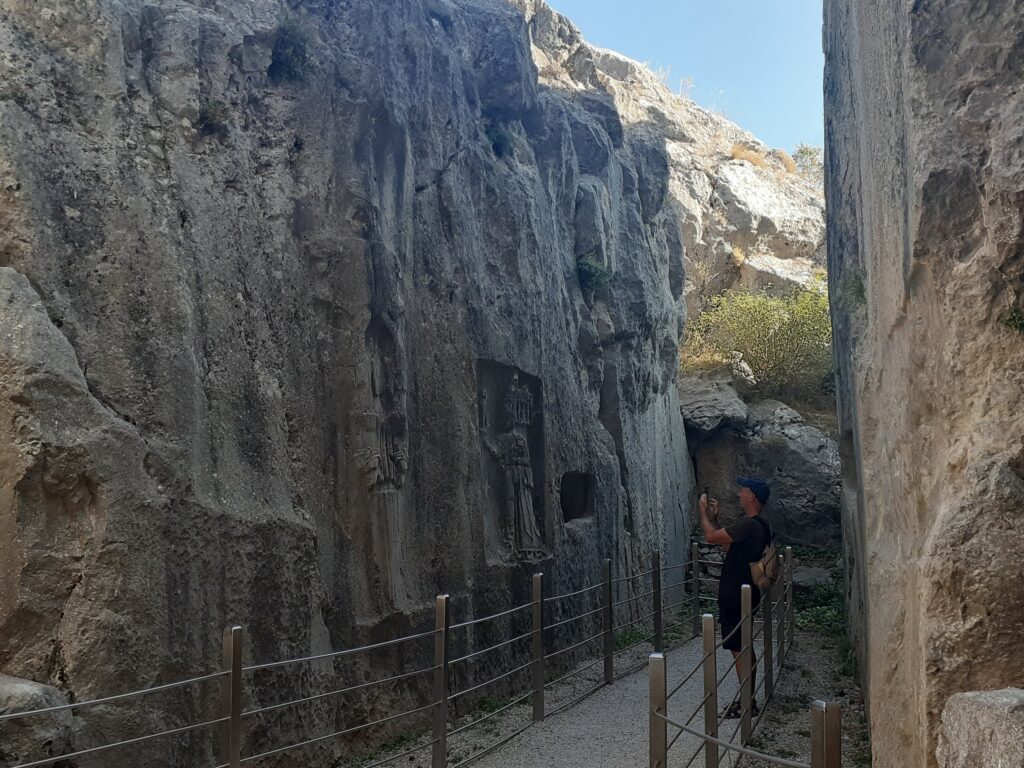
Chamber B, which extends beyond the narrow passageway, is thought to have been the memorial chapel of the great reigning king Tudhaliya IV, built by his son, Spiruma II at the end of the 13th century BC.
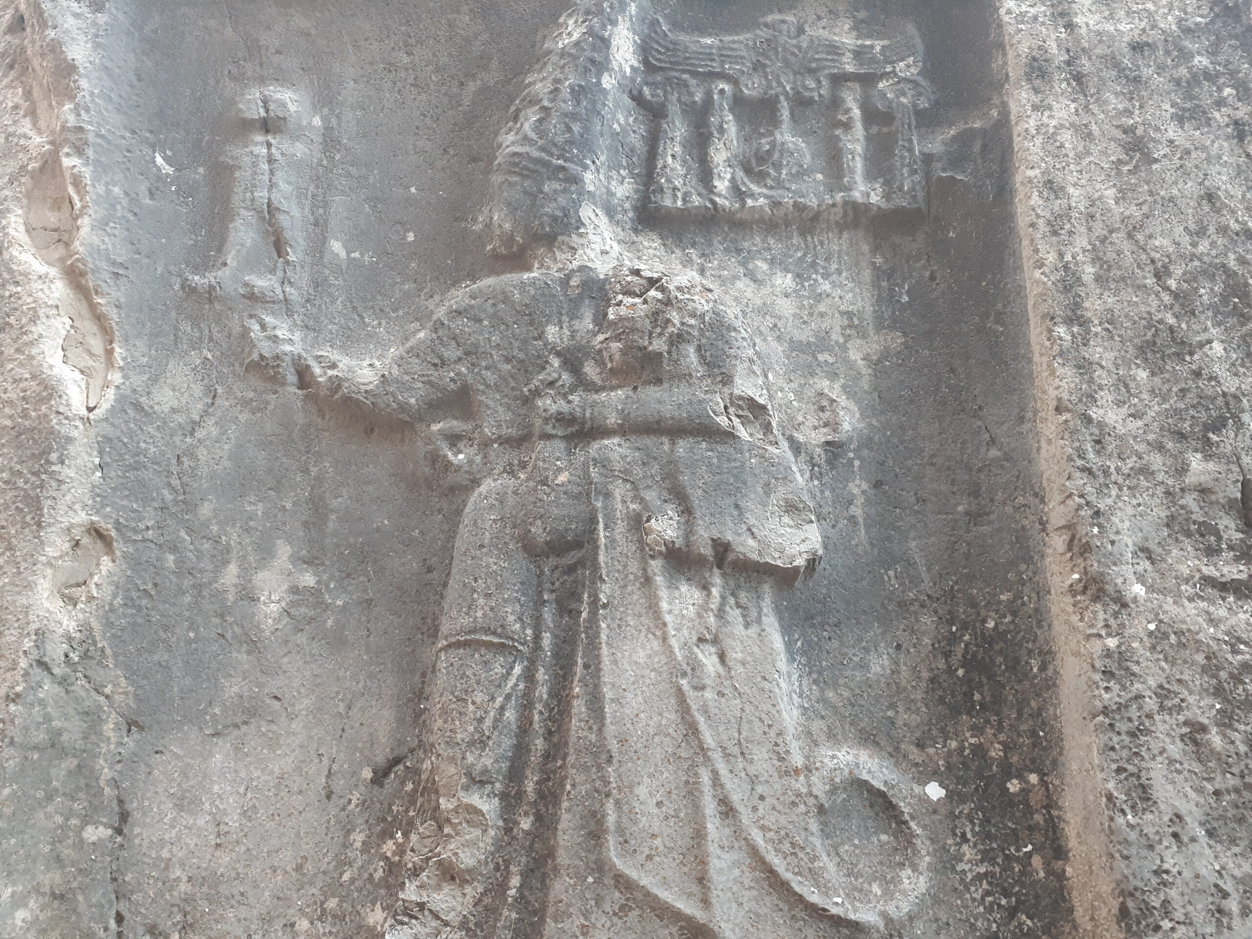
The row of 12 deities with swords on their shoulders is similar to the procession of deities in Chamber A, but is much better preserved. On the opposite side is a large sword hilt, on which four lions can be seen. To the right of this is an inscription of Tudarya IV being embraced by the god Salma, son of the storm god Teshap. Several hollows at the back of the room may have been the site of offerings.
The stone carvings on both walls of the narrow passageway are still powerful and overwhelming after thousands of years. Take the time to admire the reliefs of the largest surviving Hittite rock shrine.


Comment